- Access coastal ecosystem data rapidly at various geographic scales.
- Visualize spatial data with ease using a dynamic Dashboard.
- Request high-resolution and customized solutions for enhanced insights.
Coastal Ecosystem Map Application Platform (CEMAP)
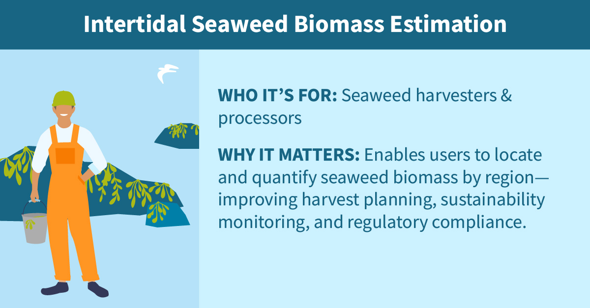
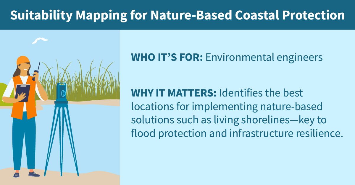
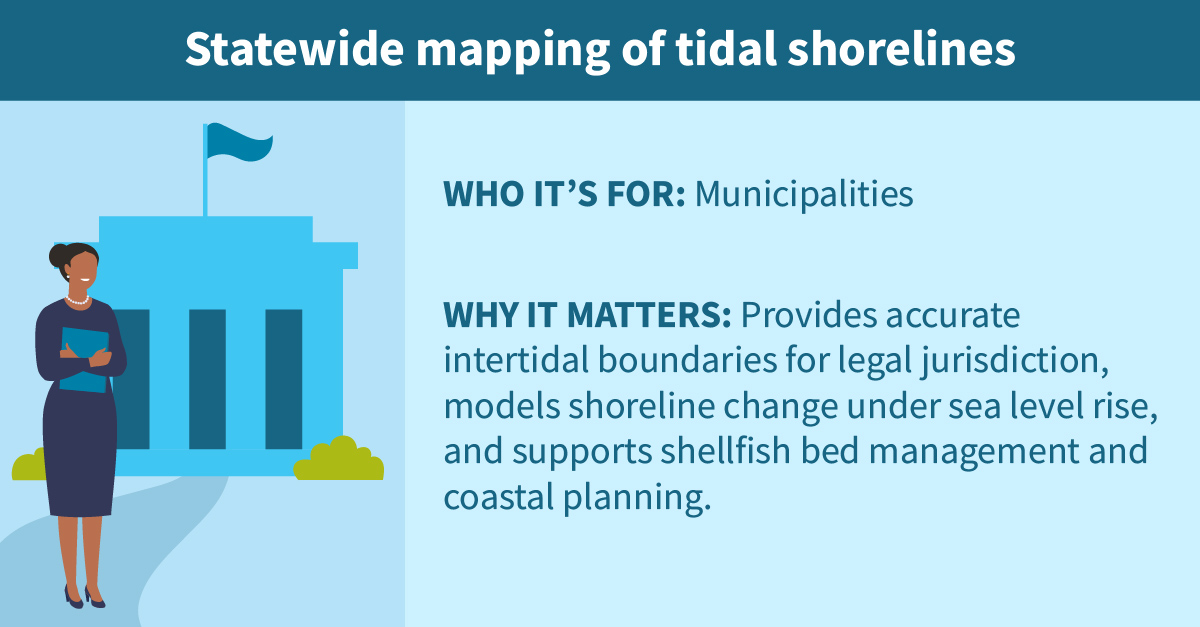
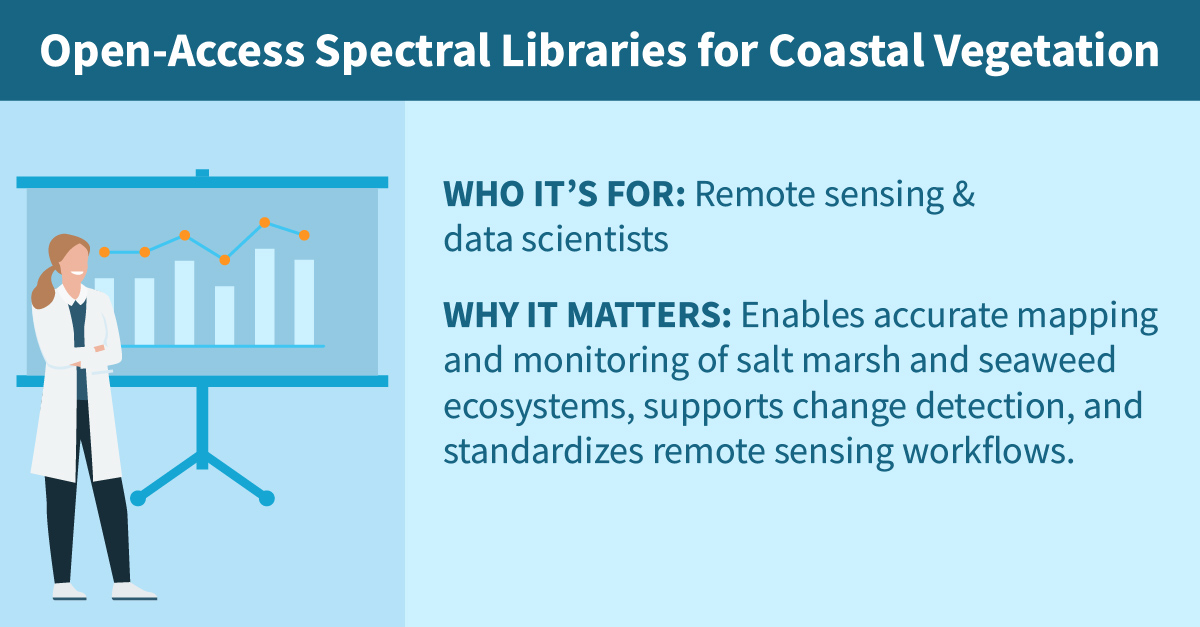
Welcome to CEMAP, your comprehensive tool for visualizing and understanding coastal and intertidal ecosystems. CEMAP offers a range of features and data to empower coastal communities and resource managers, conservation groups, marine industries including wild seaweed and shellfish harvesting, aquaculture, marine and coastal property insurers, and researchers and scientists in making accurate assessments and informed decisions.
Explore the various components of our platform:
